Satellite Telemetry Solutions
The Woods Hole Group is the unique Argos satellite system operator in North America.
We manage all sectors of satellite communication including oceanography, wildlife tracking, soil and moisture monitoring, herd and livestock management, etc.
Whether the need is for primarily data communication and tracking or a standalone back-up beacon, the Argos satellite system is the solution.
To each their own beacon
Argos is the only satellite constellation with tags so small that they can be used on birds weighing as little as 67g and tags even small enough to track neonate sea turtles. Argos is also the only system that has a library of open-source transmitter boards (and soon we will be adding open-source tags).
Argos is used on all animals from those that swim, walk or fly. In addition, you can find Argos on oceanographic instrumentation like gliders, AUVs, floats, and similar. You can find Argos tags tracking herds of animals including livestock as well as transmitting statistical information from LoRa base stations.
If there is a need for communication, there is high probably that Argos is the solution.
Wildlife Tracking
Operational Oceanography: Positiong & Collections
Soil Moisture Monitoring
Actualités
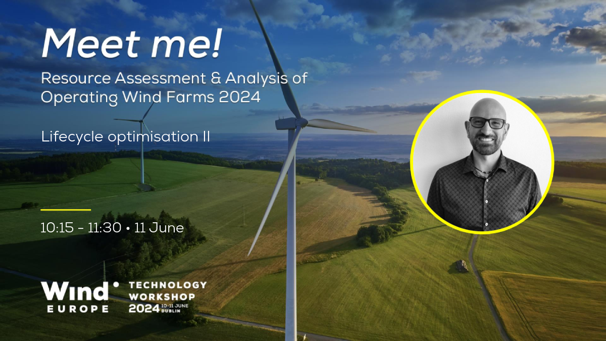
WindEurope Technology Workshop : 3 posters et une conférence
Meteodyn participera activement au WindEurope Technology Workshop 2024, avec 3 présentations de posters et une session de conférence.Cette année, le WindEurope Technology Workshop aura lieu du 10 au...
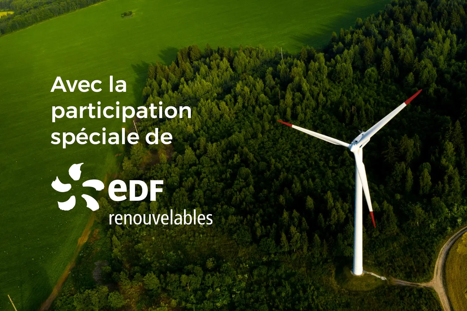
Webinaire : Comment évaluer le potentiel éolien avec précision en zones forestières ?
Ce webinaire avec EDF Renouvelables présente notre méthodologie pour améliorer la précision des simulations en zones forestières, ainsi que les résultats du projet conjoint, permettant de réduire les erreurs de vitesse moyenne du vent jusqu’à 4,4 %.
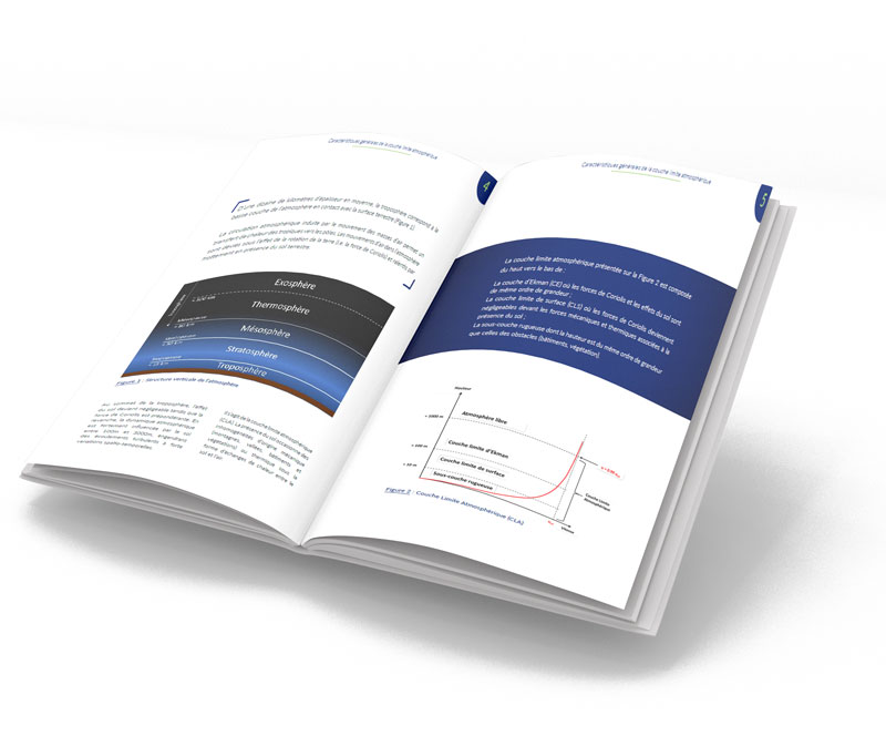
Livre blanc : Modélisation de la Couche Limite Atmosphérique
Des caractéristiques générales de la couche limite atmosphérique à l’impact des effets thermiques et de la stabilité sur la turbulence, en passant par la théorie de similitude de Monin-Obukhov, ce livre blanc balaye l’ensemble du savoir nécessaire à la modélisation de la couche limite atmosphérique.
Travailler à Meteodyn
Explorez de nouvelles opportunités professionnelles en consultant nos offres d’emplois